
On the afternoon of September 17, 1961, about 5,000 people packed into a brand-new building on the edge of downtown Pittsburgh, on ground that had been the Lower Hill District only a few years earlier. A 50-piece band played the national anthem. Then the stainless-steel roof began to fold back, panel by panel, and the crowd looked up at the Pittsburgh skyline framed in open sky (Post-Gazette).
It was the world’s first major sports venue with a retractable roof, and the city was proud of it. What the speeches that day were less likely to dwell on was the ground underneath. Five years earlier, that site was a dense, busy, mostly Black part of the Hill District. By 1961 it was gone.
This is the story of the Lower Hill: what was there, why Pittsburgh’s leaders decided it had to go, who paid for it, and why people still argue about an empty stretch of parking lots.
What the Lower Hill actually was
The Lower Hill was the downtown end of the Hill District. It ran up from the edge of the Golden Triangle along streets like Wylie Avenue, Fullerton Street, Center Avenue, and Webster Avenue. The Pittsburgh City Archives describe the eventual clearance area as bounded roughly by Bigelow Boulevard, Bedford Avenue, Crawford Street, Fifth and Sixth Avenues, and Wylie Avenue, a total of 95 acres.
It was crowded and it was old. It was also a place where people lived, worked, prayed, and went out on Saturday night. The Heinz History Center points to Bethel AME Church, the oldest African American congregation in the city, along with eateries like Ma Pitts and Nesbitt’s Pie Shop, and a jazz scene that spilled onto the sidewalks. More than 30 Hill District businesses appeared in the Green Book, the guide for Black travelers, and the History Center notes that only one Green Book building remains in the Lower Hill today. (For the neighborhood’s larger story, see our pieces on the Hill District’s cultural history and its immigrant beginnings.)
It was not exclusively Black. A 1953 URA survey, cited by the Post-Gazette, counted 1,885 families in the Lower Hill, 67.1 percent Black and 32.9 percent white. The Hill had long been a mix of immigrant groups and Black migrants, as our earlier Hill District posts describe.
A city that wanted to be remade
To understand why the Lower Hill was targeted, you have to understand the mood in postwar Pittsburgh. Business leaders led by Richard King Mellon formed the Allegheny Conference on Community Development in 1944. In 1946, the city created the Urban Redevelopment Authority, with Mayor David L. Lawrence at the head. The program that grew out of their partnership was called the Renaissance (Heinz History Center).
Renaissance I cleared the Point for Gateway Center, which the City Archives call the first privately financed downtown redevelopment project in the country, and set smoke-control rules to deal with the city’s famously dirty air. The Lower Hill came next. The URA’s own history shows how interlocked the effort was. Its first board included the mayor and Edgar J. Kaufmann, the department store owner.
Kaufmann is the key to the arena itself. He was a champion of the Civic Light Opera, which had been performing at Pitt Stadium, and he and Councilman Abe Wolk wanted a permanent home with a roof that could open. According to the History Center, the first location considered was Highland Park. Residents of that comparatively well-off neighborhood organized, collected about 1,000 signatures against it, and the auditorium shifted to the Lower Hill instead. Take that for what it is: the claim comes from one History Center blog post, and I have not tracked down the underlying petition. But it is a stark picture of whose neighborhood was considered expendable.
“No social loss”
The language used to justify clearance was blunt. The History Center quotes city councilman George Evans calling the Hill “one of the most outstanding examples in Pittsburgh of neighborhood deterioration,” and adding that roughly 90 percent of the buildings were substandard, “so there would be no social loss if they were all destroyed.”
Conditions in parts of the Hill were genuinely poor. Old housing stock, overcrowding, and landlords who did little maintenance were real problems, and residents knew it. Federal redlining maps had also graded the Hill “D,” or hazardous, long before, which made it hard to borrow money to fix anything. But whether the whole Lower Hill was a “slum” was exactly what people disagreed about at the time and still do. The History Center puts the difference plainly: to many Black residents, the Hill “was far from a slum — it was home.”
The Pittsburgh Press headline of March 26, 1951 read “City to Rebuild Slum Areas in Hill District,” in a story quoting Mayor Lawrence saying about 100 acres would be “uprooted and rebuilt” (as reproduced by the Post-Gazette). The Pittsburgh Courier, the city’s Black newspaper, ran a headline on January 16, 1954 that tells you how the plan was being sold: “Arena to Replace Worn Out Homes In Third Ward.” The 1949 federal Housing Act supplied the money that made it possible.
The bulldozers arrive
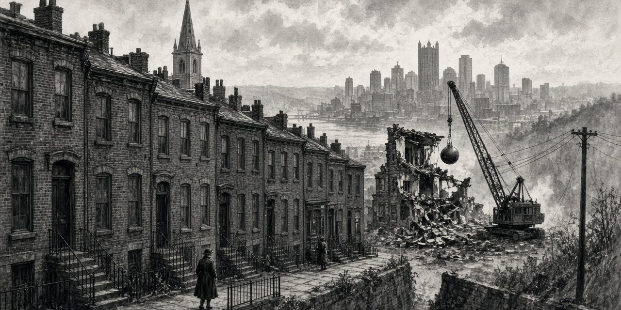
The dates for the start of demolition depend on the source. The Heinz History Center says clearance began in 1955, the year the plan was approved. The Historic American Buildings Survey record for the arena, which cites the Tribune-Review’s 2010 book Inside the Igloo, lists May 31, 1956 as the day demolition of the first buildings began. A neighborhood did not disappear overnight, and a plan, a vote, an eviction notice, and a wrecking crew are different events. I’d treat 1955 as the decision and 1956 as the start of the wrecking.
Bethel AME is the best documented loss. The church had stood at 1206 Wylie Avenue at Elm Street since 1906, and its congregation traced its roots to a gathering on Front Street in 1808. Carnegie Museum of Art holds Charles “Teenie” Harris’s photograph of the demolition, dated July 24, 1957. PublicSource reports that the congregation appealed repeatedly, and that city law barred the use of eminent domain against church property, but the URA, which is not technically a city agency, took the building anyway. The church received $240,000 in damages in 1958. The congregation moved up the hill to 2720 Webster Avenue and has worshipped there since 1959. PublicSource reports Bethel was among at least eight houses of worship demolished; the Penguins described it as one of nine churches and synagogues. The count is not agreed.
How many people, exactly?
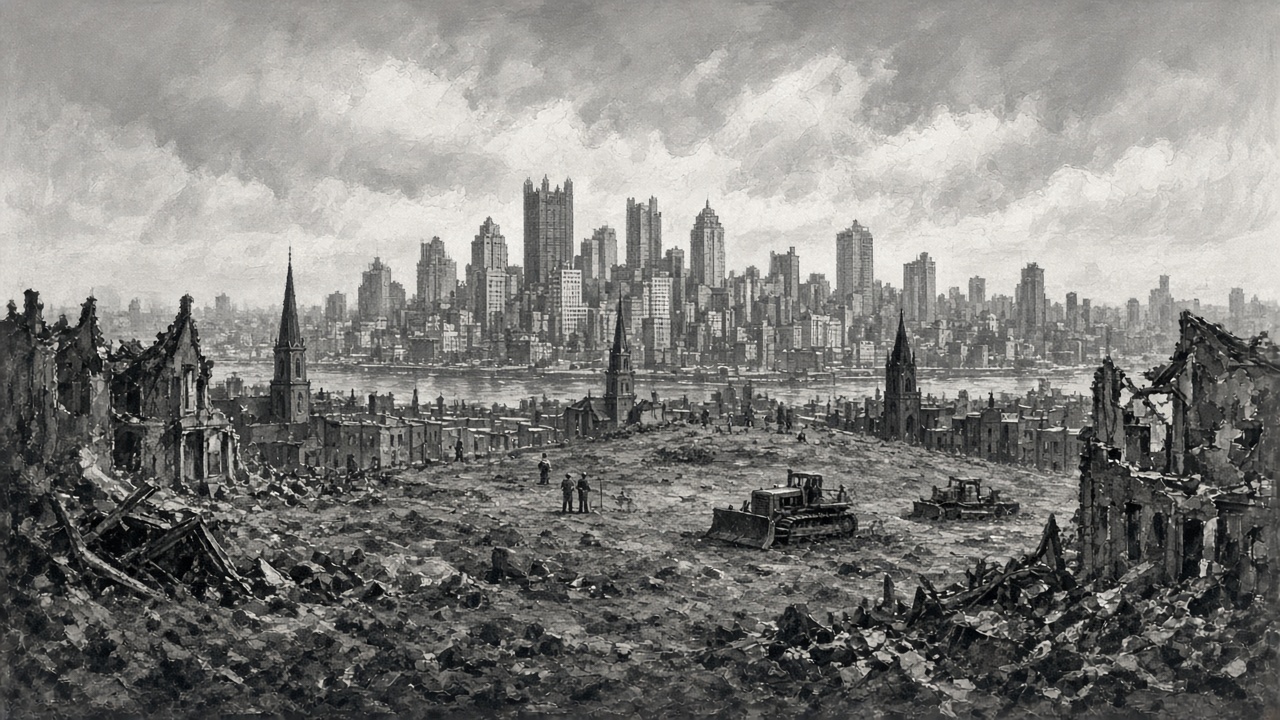
This is the number everyone repeats: about 8,000 residents and about 400 businesses. Here is what stronger sources show.
- Residents. The Heinz History Center and the Post-Gazette both use “over 8,000” or “roughly 8,000.” A Georgetown law journal article cites “more than 8,000” and also notes other sources giving “about 1,600 families, or 8,500 people.” That is a range, not a precise count.
- Businesses. The History Center says “over 400.” Two academic sources give 413. The Post-Gazette says “about 400.”
- Buildings. Commonly 1,300. The HABS record says 1,000 buildings on 752 parcels at the start of demolition. The numbers could be measuring different phases.
- Families relocated. The Post-Gazette reports the city housing authority planned to relocate 1,551 families, 29 percent into public housing, against the 1,885 families counted in the 1953 survey. The records do not clearly explain the difference, and the Post-Gazette is summarizing them.
My honest read: the 8,000-and-400 figures are a sound round-number estimate, repeated by credible institutions, but I haven’t found a single primary URA document that settles them. The City Archives hold the URA’s property inventories for the area, 1953 to 1961, and that is where a precise count would have to come from. Until someone publishes that count, “roughly 8,000 people and 400 businesses” is the safest way to say it. Another widely repeated claim, that this was “one-fifth” of the Hill’s population, comes from a TV station’s anniversary piece and I couldn’t confirm it elsewhere.
Where did everyone go?
The plan had a hole in it. Business owners were paid for property, as the History Center notes, but tenants, who were most of the residents, were not. The relocation plan was thin, and the URA was demolishing buildings faster than it could find homes for the people in them.
Thesis research drawing on the Pittsburgh Courier concluded that rather than spreading Black families across the city, the clearance packed them more tightly into places that already had Black residents: the Middle and Upper Hill, East Liberty, Homewood, Wilkinsburg, Homestead. The Post-Gazette’s reporting similarly describes many Black families moving to the Middle and Upper Hill or Homewood, while many white families went to Uptown and the South Hills. The Post-Gazette also notes that some Black leaders had supported redevelopment in the hope that housing for the displaced would be built nearby and that construction would employ Hill workers. That is context worth keeping: the Hill was not unanimous, and the promises were part of why some people went along.
What got built
The Lower Hill plan originally described by the URA in 1951 included an arena, a large apartment complex, a hotel, a parking garage, and an art museum (per PittsburghHockey.net, a secondary source). What the History Center says was actually built in the Lower Hill was the auditorium and one luxury apartment building. The Post-Gazette also lists the Crosstown Boulevard and Chatham Center as part of the project. The promised replacement housing for displaced residents never came close to matching what was lost.
The arena was designed by Mitchell & Ritchey. Ground broke on April 25, 1958, per the HABS record. The retractable dome was about 415 feet across, in eight sections, and cost pushed the budget from $19 million to roughly $22 million, with roof changes accounting for about $3 million of the increase (Post-Gazette). The first event, the day after the dedication, was the Ice Capades.
The Civic Light Opera used the building until it moved to Heinz Hall, which its own timeline dates to 1972. Keeping the dome working turned out to be costly. The History Center says repair costs meant the roof rarely opened regularly.
A common misunderstanding is that the arena was built for hockey. It was not. The Penguins did not exist until the 1967 NHL expansion; the team name was inspired in part by the arena’s igloo shape, per WPXI. The Pittsburgh Hornets of the AHL were the arena’s first hockey tenant.
Drawing a line on the Hill
Clearance was meant to continue up the hill. It did not, partly because residents organized. The Citizens Committee for Hill District Renewal and the NAACP put up a billboard at Roberts and Crawford streets that read, in the words reproduced in a Teenie Harris photograph dated 1969, “Attention: City Hall and U.R.A. No Redevelopment Beyond This Point!” The History Center dates the stand-off to the years after the first demolitions. The sign was a literal border: the Lower Hill was gone, and the Middle Hill would be fought for.
The Igloo comes down
The Penguins moved to the Consol Energy Center in 2010. The city’s Historic Review Commission and Planning Commission both recommended against landmark status for the arena, and on June 28, 2011, City Council voted 6-3 against designating it, as AP and the city’s own legislative record show. Preservationists, including Pittsburgh History & Landmarks Foundation, argued the building deserved review under federal preservation law; the Foundation raised concerns that demolishing before a Section 106 review could jeopardize federal funding. A federal lawsuit also failed. Demolition began September 26, 2011, and the last piece of the roof came down on March 31, 2012.
People felt differently about the building depending on where they stood. For many Pittsburghers it was the place of first concerts and Penguins games. For many who had lived or worshipped on the Lower Hill, as the Post-Gazette’s interviews show, it was a symbol of what the city had taken. Both of those things were true.
What remains, and what is still unresolved
The arena site is, as the Heinz History Center put it, still mostly parking lots. After a 2014 community agreement and years of Penguins-led planning, the URA reports that the development rights for the remaining acreage expired in October 2025 and reverted to the URA and the Sports & Exhibition Authority. About 21 acres remain to be developed, and the authorities say they are evaluating options through a public process.
There has been one notable correction. In 2023, Bethel AME reclaimed about 1.5 acres of its former Lower Hill land through an agreement with the Penguins, the URA, the Sports & Exhibition Authority, and the city. The church says it plans to build low- and moderate-income housing there. It is, by the church’s own account, a national precedent for restorative justice, and it is still being carried out.
The next time you park for a game near Mario Lemieux Place, it is worth knowing what the pre-1955 street grid once held. The record, not the legend, is that thousands of people lived there, the city knew what it was taking, and the argument about what should be built in their place has gone on for seven decades.
Related reading on Steel City History: Pittsburgh Penguins history, the Pittsburgh Crawfords, Billy Strayhorn, Mary Lou Williams, and Three Rivers Stadium.